Casimir Underground · Construction Operations
Project intelligence for underground construction.
Manage projects, field data, GIS layers, photos, documents, tasks, and stakeholder reporting from one secure platform.
One platform for the entire project lifecycle.
From the executive dashboard to the bottom of the trench, Casimir keeps every record connected, versioned, and accountable.
Project dashboards
Live status across every project — schedule, budget, open tasks, and risk in one executive view.
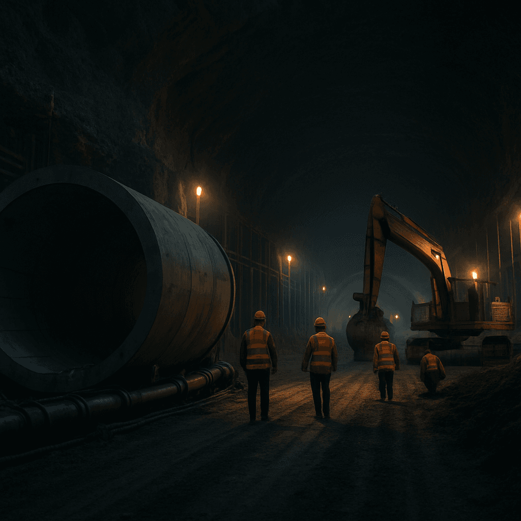
Field tasks & offline sync
Crews capture work in the field with no signal. Everything syncs the moment they reconnect.
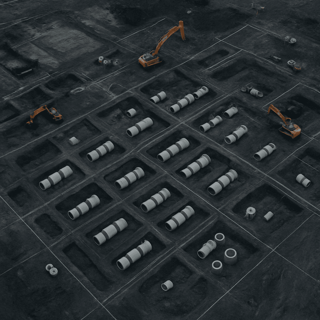
GIS & GeoJSON hosting
Host and version spatial layers, alignments, and survey data with full project context.
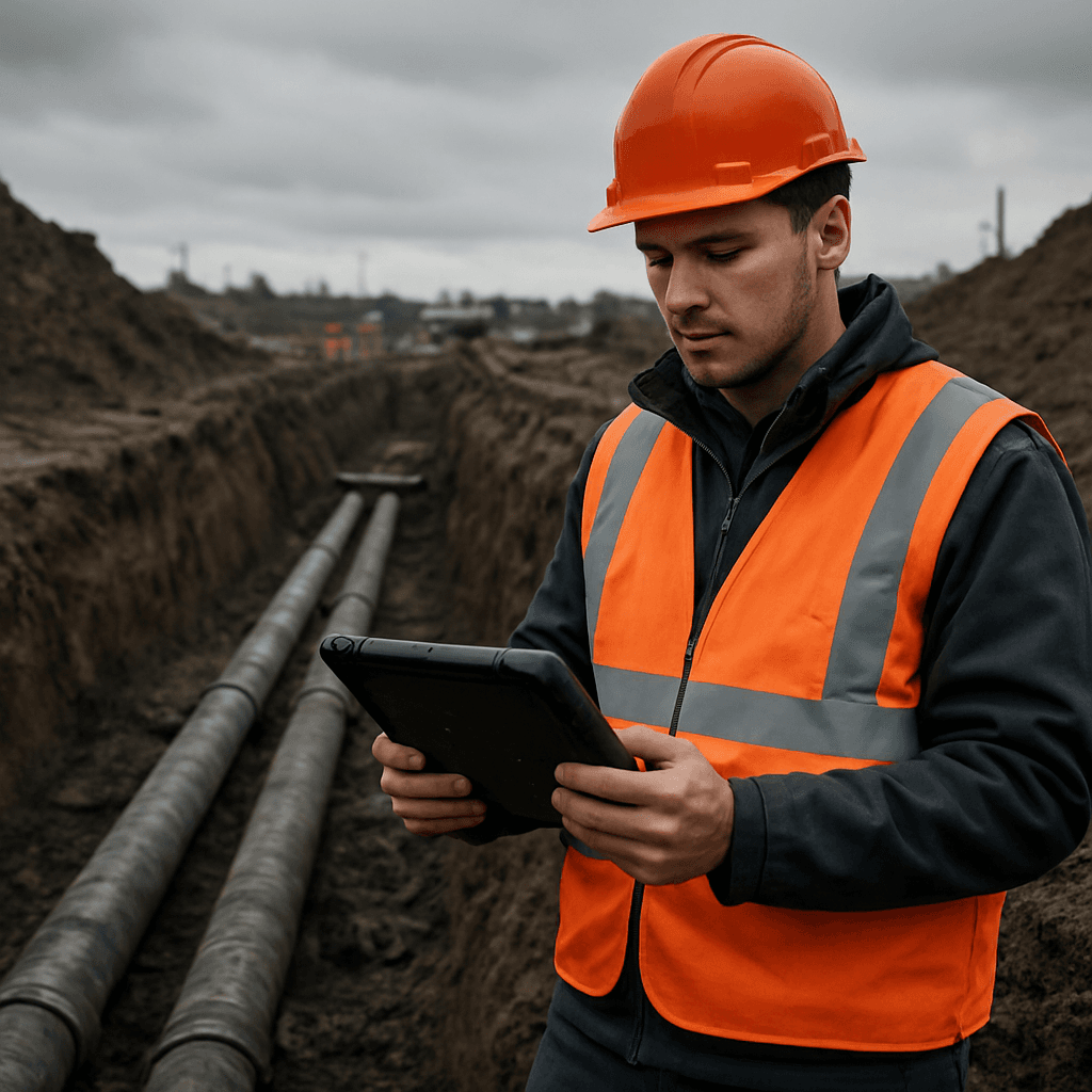
Photos & document control
Geotagged photos, drawings, and QA records — organized, searchable, and access-controlled.
Stakeholder reporting
Generate executive and client-ready reports from real project data, not spreadsheets.
Secure communications
Role-based access keeps every document, layer, and message scoped to the right people.
Executive dashboards
See every project at a glance.
Roll up schedule, budget, open issues, and field progress into a single operations view. Drill into any project for the full record — no status meetings required.
- Portfolio-wide health and risk indicators
- Budget and schedule variance tracking
- Real-time field task and crew status
GIS & offline field mode
Spatial data and field work, fully connected.
Host versioned GeoJSON layers, alignments, and survey data alongside the photos and records captured in the field. Crews work offline in the trench; everything reconciles automatically on reconnect.
- GeoJSON layer hosting with version history
- Offline-first capture for no-signal sites
- Geotagged photos linked to map features
Secure, role-based access for every stakeholder.
Casimir accounts are provisioned by your project administrator so the right people see the right data. Already have an account? Sign in. Need access? Contact your administrator.